Big Bend
National Park
Land of
Dramatic Contrasts
and
Scenic Grandeur
Story and Photography
by
W. RAY SCOTT
Published by
NATIONAL PARK CONCESSIONS, INC.
Copyrighted 1950 by National Park Concessions, Inc.
| National Parks | |
|---|---|
| ACADIA | MAINE |
| BIG BEND | TEXAS |
| BRYCE CANYON | UTAH |
| CARLSBAD CAVERNS | NEW MEXICO |
| CRATER LAKE | OREGON |
| EVERGLADES | FLORIDA |
| GLACIER | MONTANA |
| GRAND CANYON | ARIZONA |
| GRAND TETON | WYOMING |
| GREAT SMOKY MOUNTAINS | NORTH CAROLINA & TENNESSEE |
| HAWAII | HAWAII |
| HOT SPRINGS | ARKANSAS |
| ISLE ROYALE | MICHIGAN |
| KINGS CANYON | CALIFORNIA |
| LASSEN VOLCANIC | CALIFORNIA |
| MAMMOTH CAVE | KENTUCKY |
| MESA VERDE | COLORADO |
| MOUNT McKINLEY | ALASKA |
| MOUNT RAINIER | WASHINGTON |
| OLYMPIC | WASHINGTON |
| PLATT | OKLAHOMA |
| ROCKY MOUNTAIN | COLORADO |
| SEQUOIA | CALIFORNIA |
| SHENANDOAH | VIRGINIA |
| VIRGIN ISLANDS | VIRGIN ISLANDS |
| WIND CAVE | SOUTH DAKOTA |
| YELLOWSTONE | WYOMING-MONTANA-IDAHO |
| YOSEMITE | CALIFORNIA |
| ZION | UTAH |

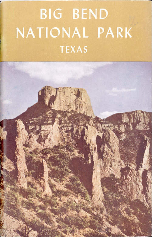
Southwestern Texas, along the Big Bend of the Rio Grande,one of the last scenic frontiers of America is located in a remoteand unspoiled setting. Vast stretches of plains and range land,interspersed with numerous outcroppings of buttresses and ridges,end abruptly against a mass of mountains near the Mexican border.Etched and carved by the master hand of “Erosion” giant arroyosand imposing gorges are spread through the area in wild abandon.Towering, jagged peaks of the Chisos Mountains merge with thedesert, plains and valleys in Big Bend National Park to create akaleidoscopic pattern of dramatic contrasts and striking grandeur.
The northern approach to Big Bend is through Marathon. LeavingU. S. Highway 90 from this point, the Park boundary at PersimmonGap is about forty